 Manifest / 01
In Flight
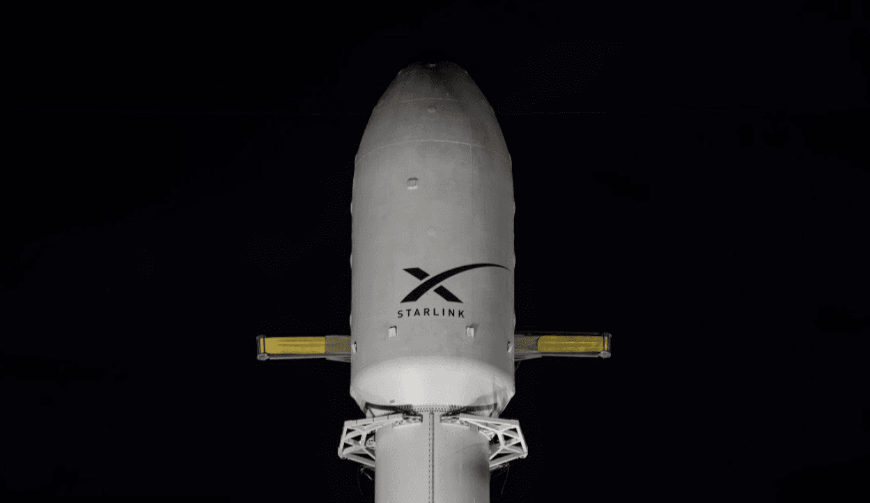
Starlink Group 10-49
Falcon 9 Block 5
ProviderSpaceX
PadSpace Launch Complex 40
DateAug 25, 2026
Time (UTC)09:33 AM UTC
Launch clockT– to liftoff
T+:::
Confirmed to the minute00
00
38
42

This mission is complete.
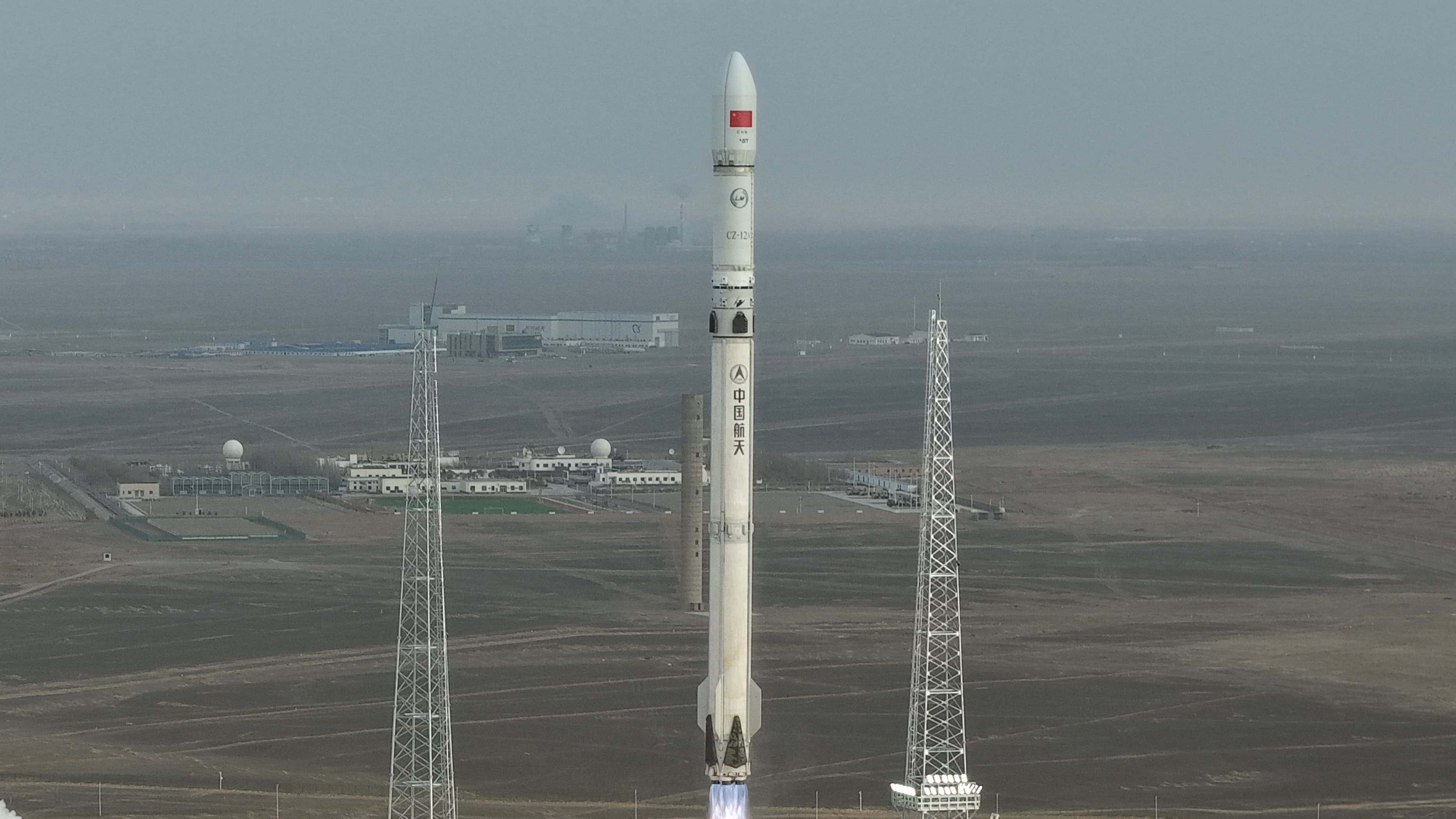
Note: Launch vehicle and payload uncertain. The Terrestrial Ecosystem Carbon Monitoring Satellite (TECIS) is intended to evaluate forest biomass, measure atmospheric aerosol content, and detect photosynthetic fluorescence. These measurements will contribute to efforts to combat global warming. The satellite carries 4 instruments: Multi-Beam LIDAR, Directional Multi-Spectral Camera, Directional Polarization Camera, and Chlorophyll Fluorescence Hyper-Spectral Monitor (SIFIS) The satellite will operate in a sun-synchronous orbit at a height of 506 km, at 10:30 AM local time in the descending mode, with a designed lifetime of 8 years.
Ground vector
Launch Complex 9
Taiyuan Satellite Launch Center, People's Republic of China
Launch commit criteria
Tracking no weather issues at this time.
03:00 AM UTC - 03:28 AM UTC
Provider
CHN • Founded 1999
The China Aerospace Science and Technology Corporation (CASC) is the main contractor for the Chinese space program. It is state-owned and has a number of subordinate entities which design, develop and manufactu...
No meaningful launch-time or status changes recorded.