 Manifest / 01
Go
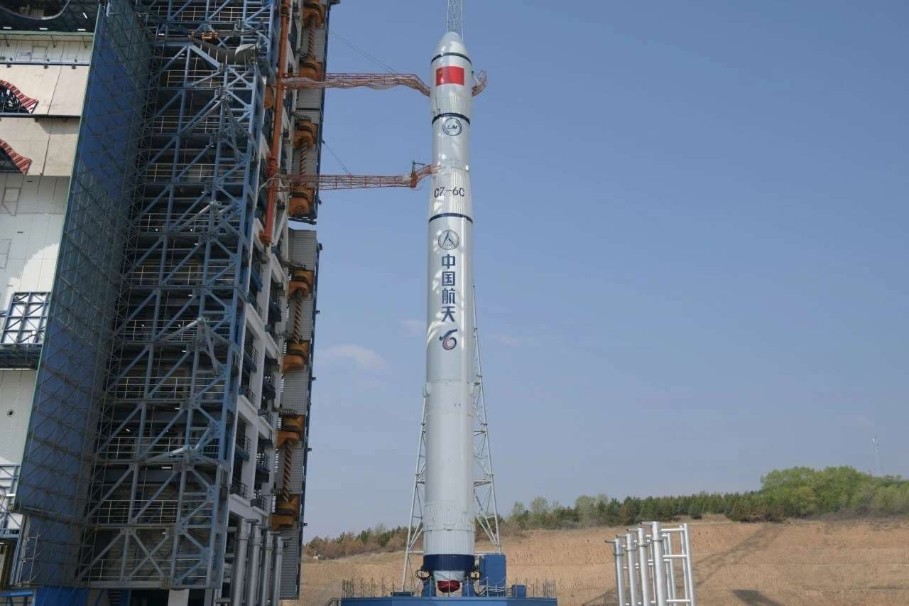
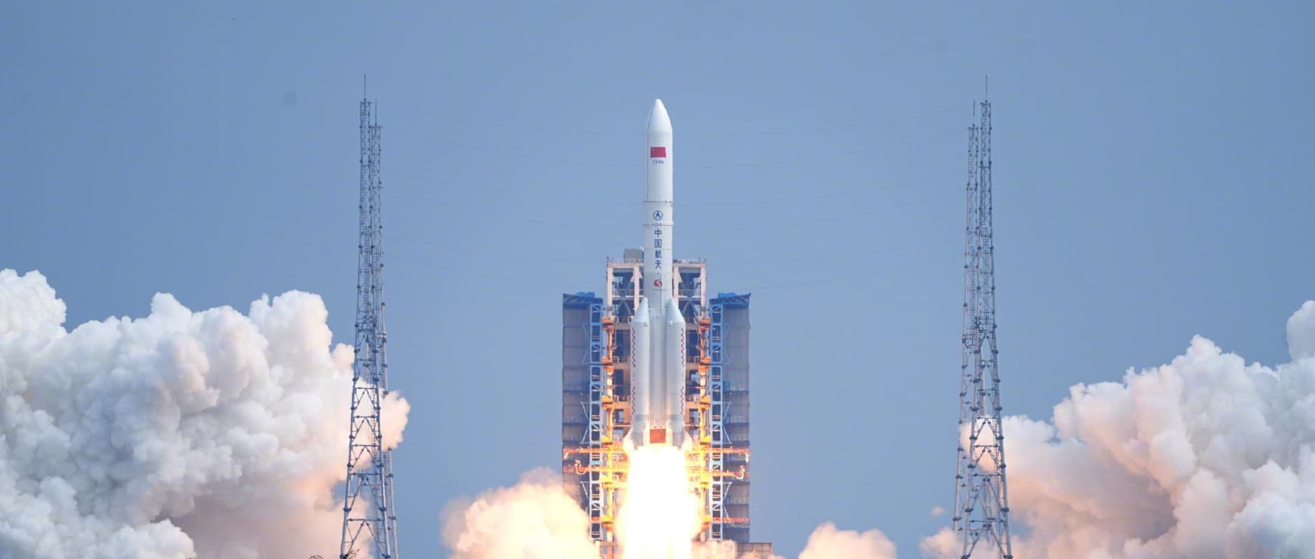
Chang'e 7
Long March 5
ProviderChina Aerospace Science and Technology Corporation
Pad101
DateAug 24, 2026
PrecisionAbout 12:05 AM UTC
Schedule watchTracking updates
T– about 1d 13hWindow opens 12:00 AM UTC
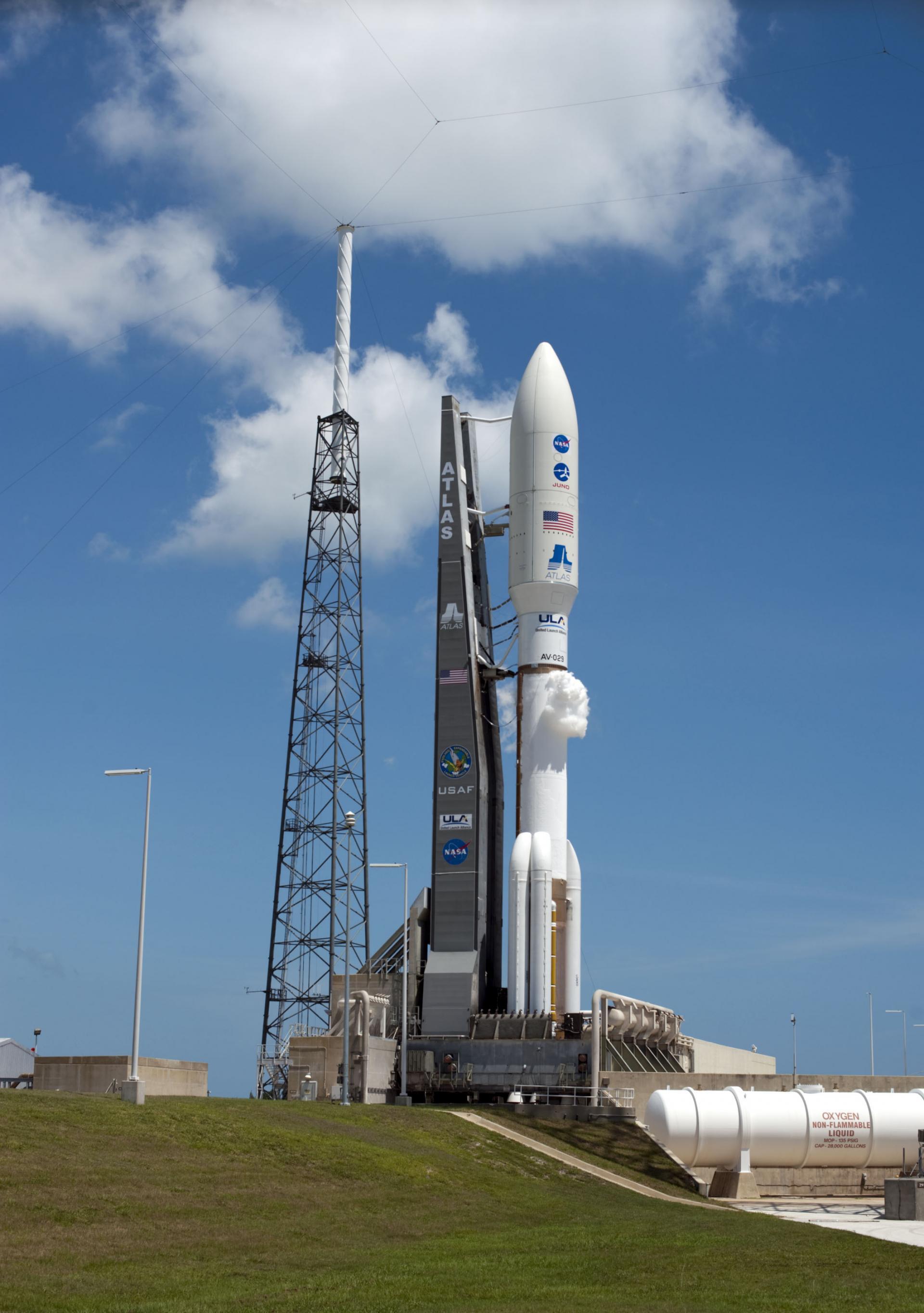
This mission is complete.
The primary purpose of the SDS satellites is to relay imagery from low-flying reconnaissance satellites, notably the Keyhole optical reconnaissance and Lacrosse/Onyx radar reconnaissance satellites to ground stations in the United States.
Ground vector
Launch Complex 36B
Cape Canaveral SFS, FL, USA
Launch commit criteria
Tracking no weather issues at this time.
02:32 AM UTC - 02:32 AM UTC
No meaningful launch-time or status changes recorded.