 Manifest / 01
Go
Unknown Payload
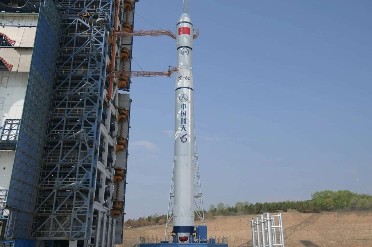
Long March 6C
ProviderChina Aerospace Science and Technology Corporation
PadLaunch Complex 9A
DateAug 25, 2026
PrecisionAbout 03:20 AM UTC
Schedule watchTracking updates
T– about 8hWindow opens 03:15 AM UTC
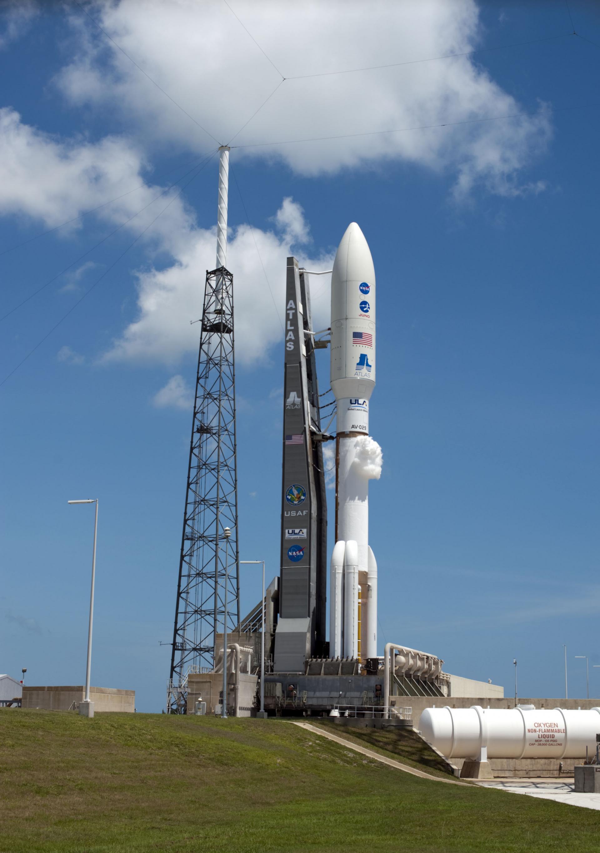
This mission is complete.
The Geostationary Operational Environmental Satellites were developed by NASA-Goddard and were transferred to the NOAA weather agency when operational. In addition to the usual weather imager/sounder, GOES-M carried a new solar soft X-ray imager.
Ground vector
Launch Complex 36A
Cape Canaveral SFS, FL, USA
Launch commit criteria
Tracking no weather issues at this time.
07:23 AM UTC - 07:23 AM UTC
No meaningful launch-time or status changes recorded.