 Manifest / 02
Go
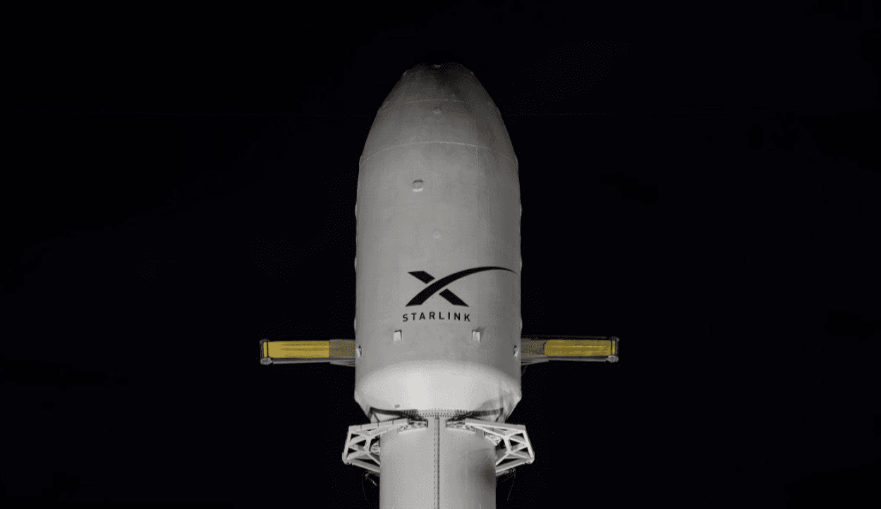
Starlink Group 15-14
Falcon 9 Block 5
ProviderSpaceX
PadSpace Launch Complex 4E
DateJul 14, 2026
Local time01:16 AM UTC
T-:::
02
15
12
30

This mission is complete.
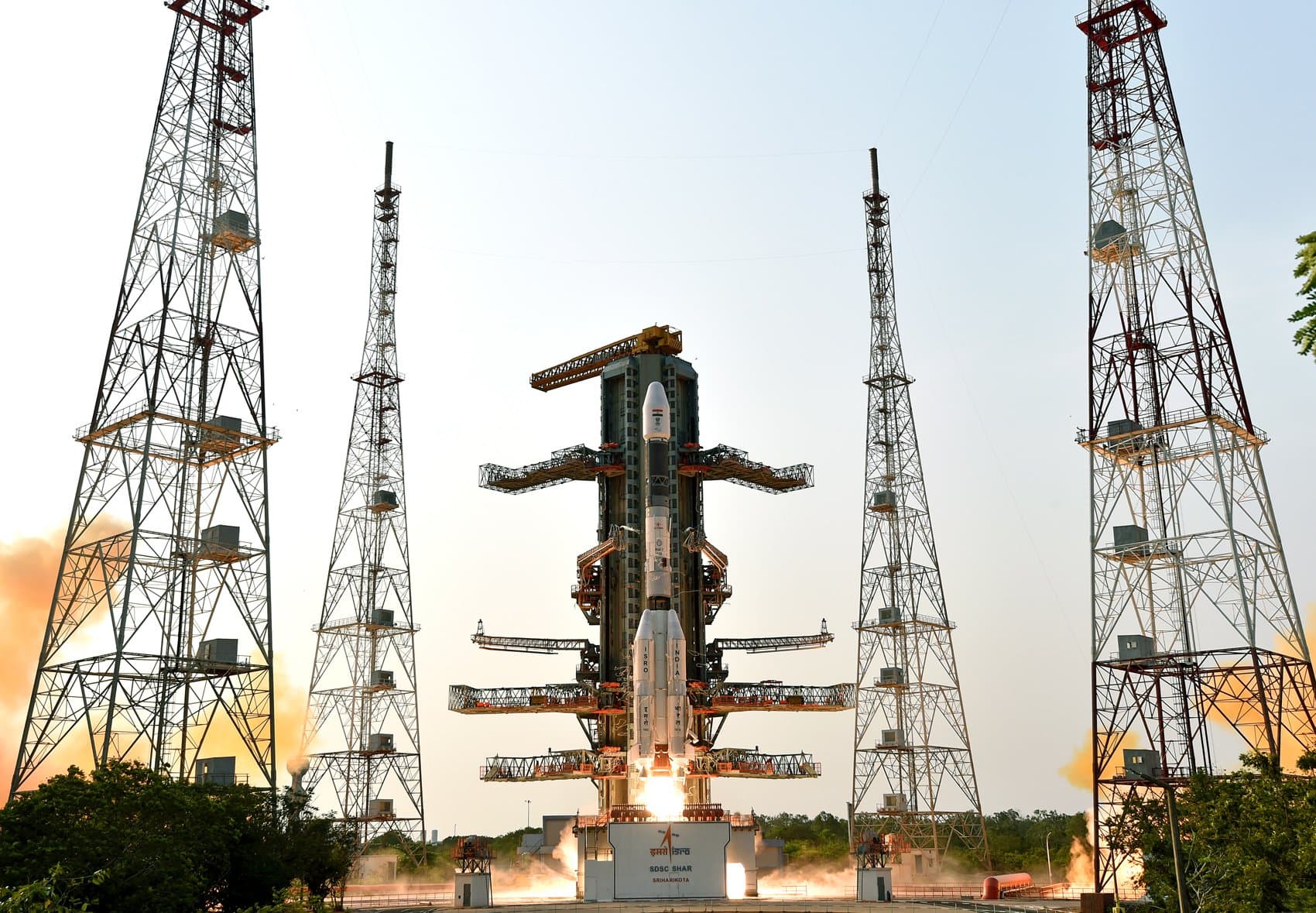
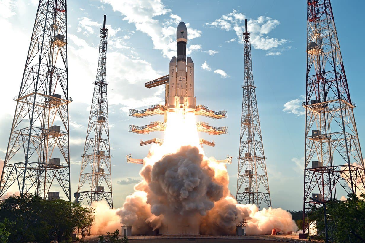
Vehicle
Geosynchronous Satellite Launch Vehicle Mark II (GSLV Mk II) is the largest launch vehicle developed by India, which is currently in operation. This fourth generation launch vehicle is...
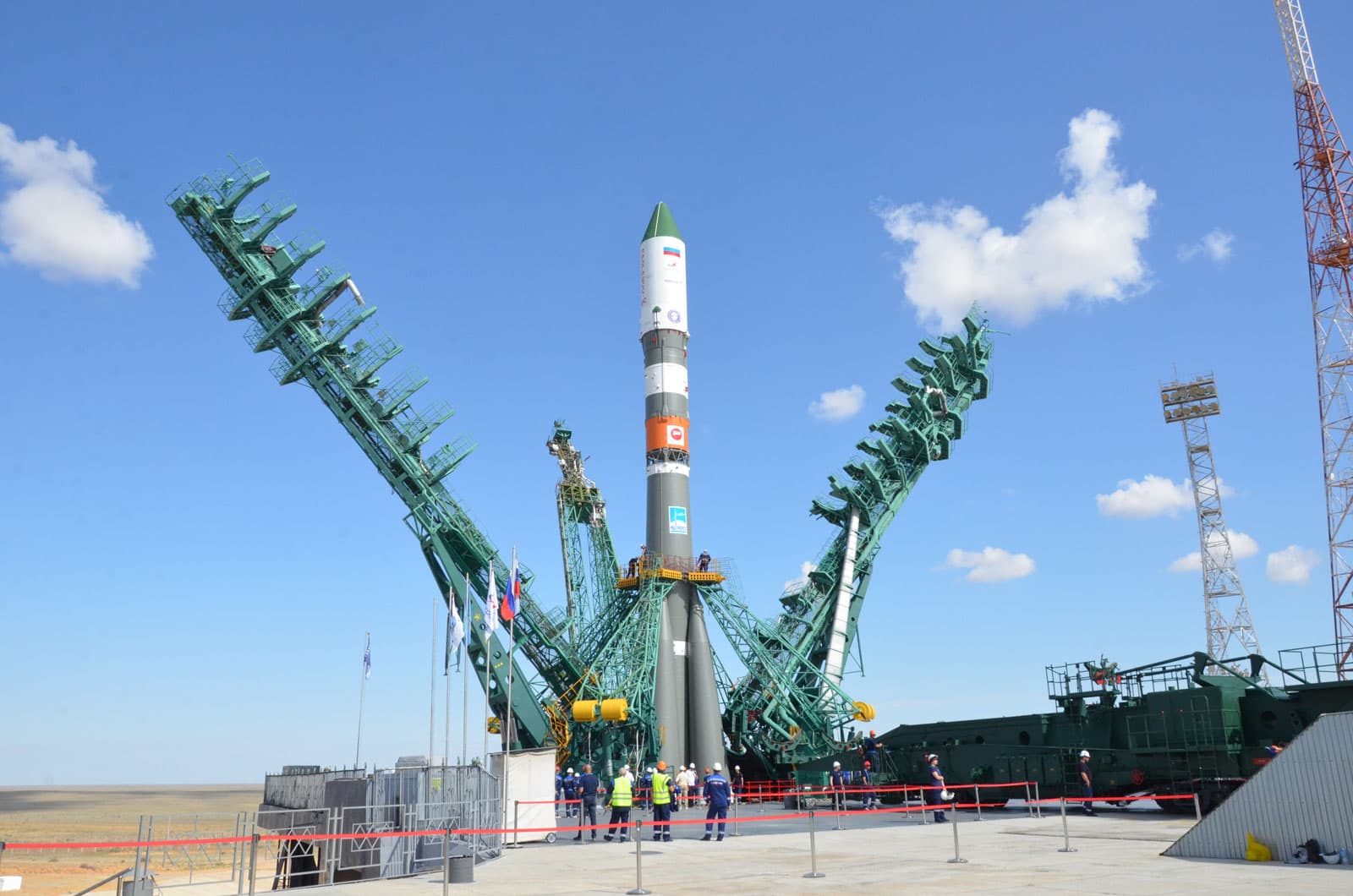
Provider
IND • Founded 1969
The Indian Space Research Organisation (ISRO) is the space agency of the Government of India headquartered in the city of Bangalore. Its vision is to "harness space technology for national development while pur...
The NASA-ISRO Synthetic Aperture Radar, or NISAR satellite, will use advanced radar imaging to map the elevation of Earth's land and ice masses 4 to 6 times a month at resolutions of 5 to 10 meters. It is designed to observe and measure some of the planet's most complex natural processes, including ecosystem disturbances, ice-sheet collapse, and natural hazards such as earthquakes, tsunamis, volcanoes and landslides. Under the terms of the agreement, NASA will provide the mission's L band synthetic aperture radar (SAR), a high-rate telecommunication subsystem for scientific data, GPS receivers, a solid-state recorder, and a payload data subsystem. ISRO will provide the satellite bus, an S band synthetic aperture radar, the launch vehicle, and associated launch services.
Ground vector
Satish Dhawan Space Centre Second Launch Pad
Satish Dhawan Space Centre, India
Launch commit criteria
Tracking no weather issues at this time.
12:10 PM UTC - 12:10 PM UTC
No delays or schedule changes recorded.